How al-Biruni Measured the Earth from a Mountain
The geometry behind al-Biruni's mountain-horizon method, what observations it required and why modern retellings should not turn one calculation into myth.
Abu Rayhan al-Biruni was an eleventh-century polymath who developed a highly elegant geometric method to estimate the radius of the Earth using observations taken from a mountain summit. By combining trigonometry with physical geography, al-Biruni bypassed the need for long, arduous overland measurements across flat deserts, which had characterized earlier geodetic surveys. His work represents a milestone in mathematical geography, demonstrating how localized astronomical and geometric observations could yield global physical dimensions.
The Geometry of the Mountain Method
The core of al-Biruni’s method relies on a right-triangle relationship established between the center of a spherical Earth, the summit of a mountain of known height, and the horizon line where the observer’s line of sight tangent to the Earth meets the sky. To execute this calculation, al-Biruni first had to determine the vertical height of the chosen mountain. His method assumes that an estimate of the mountain height is already established, though the exact procedural details of how he measured this height are not fully detailed in the primary evidence.
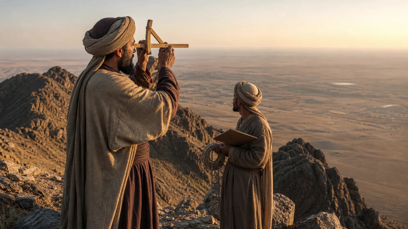
Once the mountain’s height was established, al-Biruni ascended to the summit to measure the dip angle of the horizon. Using a sighting instrument, he measured the angle between a level horizontal line and the line of sight pointing directly at the horizon. With the mountain height and the dip angle as inputs, he applied trigonometric ratios to solve for the unknown variable: the distance from the Earth’s center to its surface, which constitutes the planetary radius.
Geodesy and Mathematical Geography
To understand al-Biruni’s work, it is helpful to define geodesy in plain language as the branch of applied mathematics concerned with measuring and representing the Earth’s size, shape, and gravitational field. Al-Biruni’s interest in geodesy was not merely theoretical; it was deeply connected to the practical needs of his era, including the determination of geographic coordinates, the calculation of distances between distant cities, and the orientation of spaces. His measurements were part of a broader effort to map the known world with mathematical precision.
His geodetic inquiries required a sophisticated understanding of spherical trigonometry and an awareness of the physical limitations of observation. The method he described assumes a visible horizon, reliable angular measurement, an estimate of mountain height, and a simplified spherical Earth. This awareness demonstrates that his mathematical geography was grounded in empirical observation and a critical assessment of the instruments and environmental conditions of his time.
Documentary Limits and Reconstructing Accuracy
While al-Biruni’s geometric procedure is mathematically flawless, modern historians emphasize the need to separate the elegance of his theoretical model from the exactness of his surviving numerical values. The calculations described in his texts yielded results remarkably close to modern measurements of the Earth’s radius. However, these historical figures must be evaluated within the context of the specific inputs and instruments he used, rather than repeating a modern accuracy percentage unless it is tied to a specific reconstruction with stated inputs.
Reconstructing his exact accuracy is difficult because the precise modern equivalents of the historical units of measurement he employed remain a subject of scholarly debate. Furthermore, minor errors in measuring the dip angle or the mountain’s height can propagate through the trigonometric equations, significantly altering the final result. Rather than focusing on modern accuracy percentages, historians emphasize the conceptual brilliance of his methodology and his systematic approach to minimizing observational error.
An Evidence-Reading Checklist for al-Biruni’s Geodesy
- Identify the estimated mountain height used in the calculation.
- Examine the recorded dip angle and the precision limits of the sighting instruments employed.
- Analyze how the historical units of measurement are translated into modern equivalents.
- Check if the reconstruction assumes a visible horizon and a simplified spherical Earth.
In conclusion, al-Biruni’s mountain-based measurement of the Earth’s radius showcases the application of spherical geometry to physical geography. His work illustrates how eleventh-century scholars utilized localized empirical data to address planetary-scale questions. By examining his methods alongside the physical limitations of his instruments, we gain a realistic appreciation for his contributions to the history of geodesy.
The cover image is an original AI-assisted historical reconstruction, not a portrait of al-Biruni or a record of the mountain used in his calculation.
Sources
- Encyclopaedia Iranica: Al-Biruni and Geography — geodesy, coordinates and mathematical geography.
- The Met: Court and Cosmos — scientific instruments and al-Biruni's intellectual setting.
- University of Edinburgh: Al-Biruni Manuscript — surviving manuscript context and material transmission.
Related reading
- How al-Khujandi's giant sextant worked
- How medieval Islamic world maps were constructed


