Al-Biruni: Earth Radius, India, Astronomy, Biography and Methods
A source-aware guide to al-Biruni: biography, mountain-and-horizon Earth-radius method, astronomy, geodesy, study of India and Sanskrit, accuracy limits and common myths.
Quick answer: who was al-Biruni?
- Full name: Abu al-Rayhan Muhammad ibn Ahmad al-Biruni.
- Dates and places: born in 973 near Kath in Khwarazm; died around 1048 in Ghazni.
- Fields: astronomy, mathematics, geography, geodesy, chronology, languages, pharmacology and cultural description.
- Major works: the Chronology of Ancient Nations, Determination of Coordinates, al-Tafhim, the Masudic Canon and the study often called India or Indica.
- Historical caution: labels such as 'first geodesist' or 'founder of Indology' are modern summaries, not complete descriptions of his work or context.
From Khwarazm to Ghazni
Al-Biruni was educated in Khwarazm, south of the Aral Sea, and began making astronomical observations while young. Political conflict repeatedly changed the courts and patrons around him. After the Ghaznavid conquest of Khwarazm, he was taken to Ghazni and worked in the orbit of Sultan Mahmud and his successors. Descriptions that present every journey as free scientific travel erase this coercive setting; descriptions that make him only a captive erase the long research, patronage and intellectual exchange that followed. Both dimensions belong in the biography.
How did al-Biruni estimate Earth's radius?
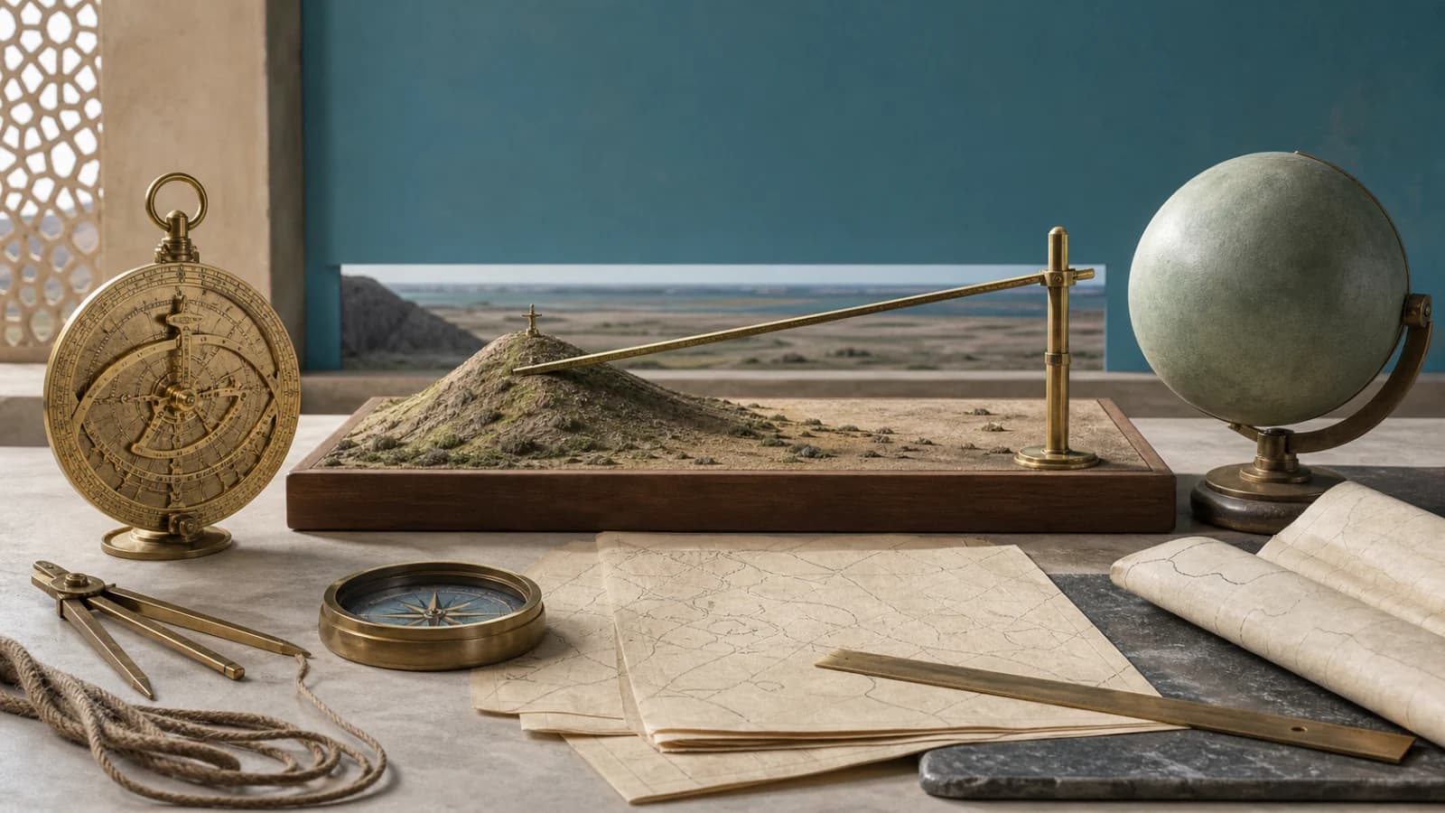
The method begins with a mountain or elevated point beside a broad horizon. First, the mountain's height is determined by angular observations and triangulation from known distances. From the summit, the observer measures the small angle by which the visible horizon dips below a level line. A right triangle links the mountain height, the line of sight tangent to a spherical Earth and the unknown radius. Trigonometry can then solve for that radius. The conceptual elegance is that one survey site replaces the much longer north-south arc measurement used in other traditions.
Was the result accurate to modern precision?
Modern summaries often convert al-Biruni's reported value to roughly 6,339 or 6,340 kilometers, close to accepted modern radius figures. That comparison is meaningful only with qualifications. Historians must choose a length for the unit in the manuscript, assess whether the described observation was carried out exactly as reconstructed and account for uncertainty in mountain height, the very small dip angle, atmospheric refraction and an uneven horizon. The method is unquestionably sophisticated; a viral percentage presented without assumptions is not a complete historical measurement report.
What is al-Biruni's India?
The work whose title can be translated as a critical study of what India says examines religion, philosophy, caste, customs, writing, numbers, geography, astronomy, astrology and calendars. Al-Biruni learned Sanskrit, consulted texts and spoke with learned Indians. He compared concepts rather than simply listing marvels, and he sometimes explained barriers created by language, social separation and conflict. The book emerged, however, in the world of Ghaznavid campaigns in northern India. Its curiosity and care do not remove the unequal political setting or every judgment of an outsider.
Astronomy, geography and chronology
Al-Biruni calculated latitudes, discussed longitudes, map projections, eclipses, planetary models, calendars and methods for finding the direction of Makkah. His tables combined direct observations with values inherited from earlier authorities, including al-Khwarizmi and Ptolemy. He engaged Greek and Indian astronomy critically and wrote some works in both Arabic and Persian. This breadth makes him a model of connected intellectual history: mathematical tools traveled across languages, but he tested, selected and reorganized them rather than merely preserving a fixed inheritance.
Al-Tafhim and teaching across languages
Al-Tafhim li-awa'il sina'at al-tanjim explains foundational ideas through questions and answers. Its scope includes arithmetic, geometry, astronomy, geography, chronology and astrology, reflecting medieval classifications rather than today's department boundaries. UNESCO's documentary-heritage account highlights Arabic and Persian versions, a valuable reminder that scientific work in Islamic societies was multilingual. Translating tanjim simply as either modern astronomy or superstition can also flatten the text; astronomy and astrology overlapped historically while al-Biruni could distinguish their methods and evidentiary strength.
Common claims that need qualification
- 'He proved Earth's exact size': he described a powerful method and a close reported value, but its modern conversion carries measurement and unit assumptions.
- 'He discovered that Earth is round': spherical-Earth models were centuries older; his achievement was mathematical measurement and application.
- 'He discovered America': arguments about unknown inhabited land are not voyages, maps or identification of the Americas.
- 'He invented anthropology': his comparative language study is an important precursor, but modern anthropology's institutions and methods came much later.
- 'He was simply an Arab, Persian, Uzbek or Afghan scientist': each label captures only part of a Khwarazmian scholar working across changing regions and languages.
How to research al-Biruni responsibly
Name the work and method behind each claim. For Earth measurement, record the original unit, conversion, site tradition and uncertainty instead of quoting only a percentage. For India, compare the Arabic text or a reliable translation with scholarship on Sanskrit learning and Ghaznavid power. For identity, use historically specific regions before modern national shorthand. This turns admiration into evidence: al-Biruni remains remarkable because his arguments can be examined, not because every online superlative must be true.
Related research guides
- Islamic Golden Age history timeline: Place these scholars inside overlapping networks of courts, books, languages and institutions rather than a single uniform age.
- Ibn al-Haytham, optics and experiment: Follow the Book of Optics, the camera obscura, theories of vision and the limits of modern scientific-method labels.
- Ibn Sina and the Canon of Medicine: Read the Canon as a medieval medical encyclopedia with a long commentary tradition, not as present-day clinical advice.
- House of Wisdom in Baghdad: Separate the documented Abbasid library and translation networks from the later myth of one timeless university.
- Al-Khwarizmi, algebra and algorithms: Compare another influential scholar through surviving works, uncertain biography and cross-language transmission.
- Bimaristan and medieval Islamic hospitals: Connect medical texts with changing institutions of care without equating a bimaristan with a modern hospital.
- Islamic history timeline: Place intellectual history inside a wider political and regional chronology.
Sources
- Library of Congress: Al-Biruni's Critical Study of India: Used for his dates, fields of study, journey to India, contact with learned Indians and the scope of the work often called the Indica.
- Qatar Digital Library: Al-Biruni and Islamic astronomy: Used for his Khwarazmian and Ghaznavid context, Sanskrit study, astronomical works and the question-and-answer structure of al-Tafhim.
- UNESCO Silk Roads: Al-Tafhim: Used for the work's Arabic and Persian versions and its combination of mathematics, astronomy, geography, chronology and astrology.
- The UNESCO Courier: Al-Biruni, a universal genius: Used for the historical discussion of his Earth measurement, observation, Indian studies and wide disciplinary range.
- University of St Andrews MacTutor: Al-Biruni biography: Used for his life, map projections, latitude observations, triangulation, Earth-radius calculation and study of Sanskrit materials.
- University of St Andrews MacTutor: Cartography: Used for his mathematical geography, coordinates, longitude and latitude work and the transmission of earlier geographical tables.
- Biographical Encyclopedia of Astronomers: Al-Biruni: Used for the surviving-work count, scientific fields, political displacement and a qualified account of his response to Indian traditions.
- UNESCO History of Civilizations of Central Asia: The age of achievement: Used for the regional scientific setting shared by al-Biruni and Ibn Sina and for the multilingual circulation of knowledge.


