How Historical Qibla Indicators Used Compasses and Sundials
Compare an Istanbul-latitude ivory dial, brass compass cases and an astrolabe to see how historical qibla indicators recorded directions and time.
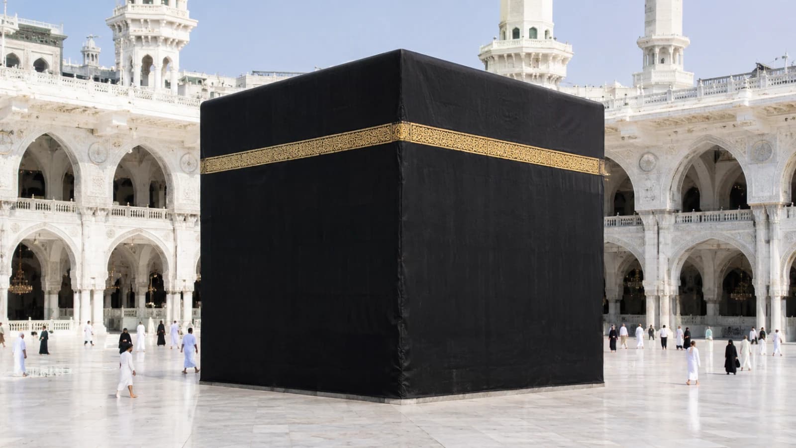
A historical qibla indicator brought geographical information and an orientation reference together in a portable instrument. The qibla is the direction of the Kaaba in Mecca for Muslim prayer. On many surviving examples, a compass needle provided a north–south reference, while city names, engraved lines or tables supplied information about the direction from particular places. Some instruments also carried a sundial, which used a shadow to indicate time.
The parts are easier to identify if you first ask what information each one supplies. The needle belongs to the compass. Place names can belong to a table, diagram or group of regional sectors. A gnomon, the part that casts a shadow, belongs to a dial. The History of Science Museum’s Prayer display at Oxford shows several approaches side by side, including brass instruments with tables and a lacquered wooden example. The guide to mosque architecture explains how the direction appears in a building as a qibla wall and a mihrab.
What the compass needle tells you
A needle gives the instrument a reference direction. Look for a pivot, a small well or chamber, and marks for the cardinal directions. The needle and the marks belong to the same part of the reading. The destination comes from the associated geographical information. If a box has both a magnetic needle and an engraved line, the two features can play different roles. One indicates orientation. The other can encode a direction for a place or identify a separate scale.
Oxford’s qibla indicator 53791 is catalogued as possibly Persian and eighteenth century. The plate above the compass has cardinal-point names and degrees. Engraved lines at the bottom indicate south and directions associated with places including Medina. On a photograph, the two surfaces can be easy to confuse. A view looking into the box helps locate the lines. A closer view of the plate shows the degree marks. The photographs and the catalogue together tell you which labels belong where.
The distinction between a reference direction and a destination also matters in modern phone-compass troubleshooting. The historical objects supply a useful material comparison. The needle, geographical table and sundial scale can each occupy a distinct surface inside one small case.
How a maker put place information on a small object
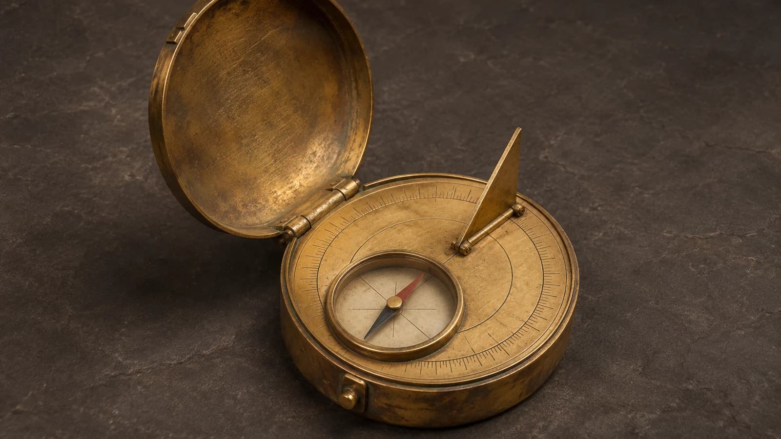
Some instruments use a gazetteer, a list of places with numerical or directional information. The Royal Museums Greenwich brass indicator AST0443 has a hinged lid and a compass set in the body. Its catalogue records 151 places inscribed around the box, with fields for longitude, latitude and additional directional values. The compass well has a glass cover and a blued steel needle with an open circle marking its north end. A scale around the compass is marked with abjad numerals, in which letters have numerical values.
If you are comparing records, pay attention to where the list continues. A face-on image might show the compass and a few inscriptions, while the side or lid carries more entries. Start by locating the hinge, then trace which surfaces are visible. That approach helps explain how the instrument fits a substantial amount of information into a brass case only 75 mm across. Greenwich dates the object to the eighteenth century and lists its maker as unknown.
Place information can also appear in grouped sectors. A sector can hold several names, which makes the relationship more like a regional grouping than a list of individual values. The distinction matters when you compare the British Museum and Greenwich examples. Readers interested in how present-day qibla bearings are calculated can see how a modern bearing answers a more specific geographical question.
How a sundial shares the same case
A sundial reads a shadow against a set of lines. The object that casts the shadow is the gnomon. On a portable instrument it can be a pin, a folding triangle or a string held by a support. A pin in one catalogue entry and a folding gnomon in another can perform a related job despite their different appearance. Find where the gnomon sits relative to the time lines before trying to identify the feature in a photograph.
At Greenwich, AST0443 has a folding triangular gnomon as well as the magnetic compass. The Science Museum Group’s example 1986-1387 has a horizontal sundial and a pin gnomon. Its record specifies a design for latitude 0° and a scale for Babylonian hours. Oxford’s Trade and Travel display lists indicator 43645 as a combined qibla indicator and horizontal pin-gnomon dial, unsigned and possibly Persian, from the nineteenth century. A label that gives the latitude, form of the gnomon and time convention tells you more than the word sundial alone.
An ivory instrument made for the latitude of Istanbul
The British Museum’s compass, sundial and qibla indicator 1921,0625.1 is an ivory box about 11 cm across. The catalogue dates it to 990 AH, corresponding to 1582–83 CE. It records Cairo under the acquisition or findspot field and identifies about 41° north, the latitude of Istanbul, as the design latitude. These fields answer different questions. The catalogue’s attribution of the dial’s latitude comes from the geometry of its string gnomon and the instrument’s markings. The Cairo entry describes another part of its record.
Look at three areas on the open object. A schematic depiction of the Kaaba lies in the centre. A compass sits in its own well. The outer ring divides cities and regions into 72 sectors, with Istanbul written in red. The museum interprets the groups as approximate regional directions. The same instrument also carries a horizontal sundial and a red, sail-shaped dial for an afternoon prayer time. A folding metal support held the string that cast the shadow for both dials. The red dial uses a historical convention in which daylight is divided into twelve parts, so the length of each part changes with the season.
What wear, missing pieces and uncertain labels can tell you
Several details remain uncertain. Some labels near the compass are unidentified. Marks in another ring are worn, and the museum gives a tentative interpretation. The glass and needle appear original in the catalogue description. In an object note, keep the observed features, the curator’s interpretation and the state of preservation visible. That lets the reader see why a faded scale still matters without assigning it a definite purpose.
Condition matters when an object is photographed closed. The ivory example has a detachable lid with an eight-petalled gold flower. The museum notes a possible missing inlay at its centre and chips in the ivory. Those observations are about the case. For reading the interior, the relevant condition details include the needle, glass, strut and legibility of the lines. If you compare exterior and interior photographs, use the object number to tie both views to the same catalogue entry.
Where the same idea appears on an astrolabe
Geographical information was also engraved on instruments with other functions. The North African astrolabe 51459 at Oxford was made by Muhammad ibn Ahmad al-Battuti in 1733–34. The museum describes geographical tables listing qibla information for towns and an inscription recording an endowment to a mosque in Fez. The record distinguishes what the inscription says from the museum’s suggestion about who may have used the instrument. That gives two independent clues about the object’s setting and possible use.
A place table on an astrolabe and a place table on a compass case can preserve related information. Compare the surfaces that carry the table and the parts alongside it. On the case those might include a magnetic needle or a gnomon. On the astrolabe, the parts described in the guide to the mater, rete, plates and alidade support astronomical readings. Oxford’s display points to other astrolabes with prayer lines or place lists as well. These overlaps explain why the title of the catalogue entry and the actual inscriptions both matter.
How to read a museum photograph of a qibla indicator
Start with the overall shape and the view. Is the lid detached, hinged open or still closed? Find the compass well if one is visible. Look for the shadow-casting part and trace where the engraved lines sit in relation to it. Then look for city names and numbers. A list on the lid and a set of sectors on a rim organize the information differently. When a photograph shows a single side, use the inventory entry to find out which other surfaces the catalogue describes.
Write down the object number before comparing examples. Follow it with the material, the date as given, and any maker or place attribution. Keep a question mark where the institution uses one. If a date comes from an inscription, distinguish that date from the time the object entered a collection. Likewise, put the latitude of a sundial next to the dial details instead of silently treating it as the place where the object was acquired or made. Those short notes make a comparison between two instruments easier to verify.
Museum records and objects to compare
- Oxford History of Science Museum, Prayer display shows different place tables, dial layouts and uses in one exhibition.
- Oxford, indicator 53791 records cardinal directions and degrees on the plate and separate lines inside the box.
- Royal Museums Greenwich, AST0443 documents the brass case, the 151 places, the magnetic needle and the folding gnomon.
- Science Museum Group, 1986-1387 identifies a pin gnomon, latitude 0° and a time convention.
- Oxford, Trade and Travel display identifies a combined indicator and horizontal dial, inventory 43645.
- British Museum, 1921,0625.1 documents the ivory box, Istanbul design latitude, regional sectors and two sundials.
- Oxford, astrolabe 51459 records an alternative surface for tables of qibla directions.