The Kamal: Measuring Latitude with a Board and Knotted Cord
How Indian Ocean navigators used a small board and calibrated cord to measure a star’s altitude, remember routes and estimate north–south position.
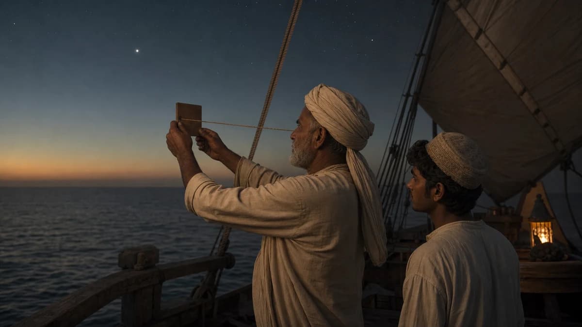
The kamal is a compact celestial-navigation instrument associated with the Indian Ocean. A rectangular board is attached to a cord marked by knots or other intervals. Held at a known distance from the eye, the board measures the angular height of a star above the horizon.
The cover image is an original AI-assisted maritime reconstruction, not a photograph of a documented historical voyage.
The geometry is simple and effective
A navigator holds one end of the cord at the face and moves the board until its lower edge aligns with the horizon and its upper edge with a chosen star. The distance from eye to board determines the angle covered. A knot can represent a remembered altitude for a route or destination.
Polaris is useful in the Northern Hemisphere because its altitude approximates geographic latitude, but the relationship is not perfectly exact and changes over long periods. Farther south, navigators used other stars and established stellar routes.
Knots could encode practical destinations
The cord did not need to display degrees in a modern printed scale. A sequence of calibrated positions could correspond to the latitude of ports or to named star heights. This is operational knowledge: the instrument works together with memory, seasonal timing and accumulated experience.
Board dimensions and cord markings vary in descriptions. A modern classroom model demonstrates the principle but should not be presented as the unique historical standard.
The kamal was one tool within a larger practice
Indian Ocean sailing also depended on monsoon winds, currents, sounding, coastal landmarks, the color and depth of water, birds and advice from pilots. A latitude estimate does not provide longitude or automatically plot a complete position.
Ottoman mariners Piri Reis and Seydi Ali Reis described related practices, while later European navigators adapted a comparable device known as the cross-staff or “balestilha.” Similar geometry can travel across languages without requiring a simple one-direction invention story.
How to use a reconstruction responsibly
- Calibrate cord length and board width before assigning angles.
- Protect the eye and never sight the Sun directly.
- State which star and historical latitude model are being used.
- Distinguish a teaching replica from a documented archaeological object.
The kamal’s elegance lies in turning a triangle into a route memory. Its few materials only become a navigational system in the hands of a trained observer.
Sources
- Istanbul University Press: Kamal, an Instrument of Celestial Navigation — historical descriptions and Ottoman sources.
- International Astronomical Union: Navigating with the Kamal — geometry and a practical teaching activity.
- The Mariners’ Museum: Kamal — object form and navigational context.


