Oman’s Aflaj: Gravity, Water Shares and Sundials
How Omani aflaj move water without pumps, how communities schedule shares, and why channels, wells, settlements and governance form one living system.
Oman’s aflaj represent a vital irrigation tradition, utilizing gravity to transport water from springs, surface flows, or underground aquifers. Unlike the Persian qanat, which is strictly a subterranean tunnel system, an Omani falaj may emerge directly into open channels that serve homes, mosques, farms, and date gardens. UNESCO has inscribed five specific examples, yet these sites represent only a fraction of a much larger, living network that continues to function across the Sultanate today.
Gravity-Driven Distribution Mechanics
The fundamental mechanism of any falaj is gravity. Water flows from its source down a gently sloping channel to the furthest fields without the need for mechanical pumping. This hydraulic design requires careful attention to slope, ensuring that water moves continuously but does not erode the channel banks through excessive velocity or stagnate due to insufficient gradient.
Engineering and governance are inseparable aspects of this system. A physical channel without coordinated maintenance and social rules fails rapidly. Sediment buildup can block flow, making regular cleaning by community members essential for survival. The infrastructure is not merely a technical construct but a social agreement that demands constant labor and cooperation to remain functional in arid conditions.
Water Rights and Allocation
Access to water is governed by complex arrangements including timed shares, inherited rights, or occasional auctions. These allocations determine how much water specific users receive, often linked to the volume of flow at the source or the size of the irrigated land. Community officials manage these rights, overseeing distribution and ensuring that social cohesion supports hydraulic efficiency.
Modern discussions sometimes romanticize a static past, ignoring the dynamic nature of water governance. Groundwater pressure changes and modern pumping have altered traditional flows, necessitating adaptive management. These contemporary challenges require balancing historical social agreements with modern hydrological realities to ensure the system’s sustainability.
Measurement and Timing
Sundials and star observations could help allocate water turns in some communities, providing a method to measure time for distribution. However, these practices are not universal. Water measurement techniques vary widely across different regions, reflecting local adaptations to specific environments and social structures. Assuming a uniform system of celestial or mechanical timing is inaccurate.
The diversity of methods underscores the flexibility of the falaj tradition. While some groups might use simple markers or natural sound cues, others rely on visual timekeeping. This variation demonstrates that the system is not bound by rigid technical prescriptions but is shaped by local needs and available resources.
Groundwater and Modern Pressures
Excessive groundwater extraction for modern agriculture can lower the water table, causing springs to dry up or reducing flow rates in existing aflaj. This threatens the sustainability of the irrigation network regardless of its historical resilience. The survival of these systems depends on addressing these environmental pressures directly.
Romanticizing the past ignores the current and urgent pressures on water resources. Adaptive management must respect both hydraulic principles and social agreements while confronting the realities of modern extraction. The future of aflaj lies in this balance, not in preserving an imagined static heritage.
- Distinguish falaj from qanat by verifying if the source is surface or underground
- Verify community maintenance schedules through local records rather than assuming continuity
- Check for modern pumping impacts on spring discharge rates in specific valleys
- Note variations in water measurement tools across different governorates of Oman
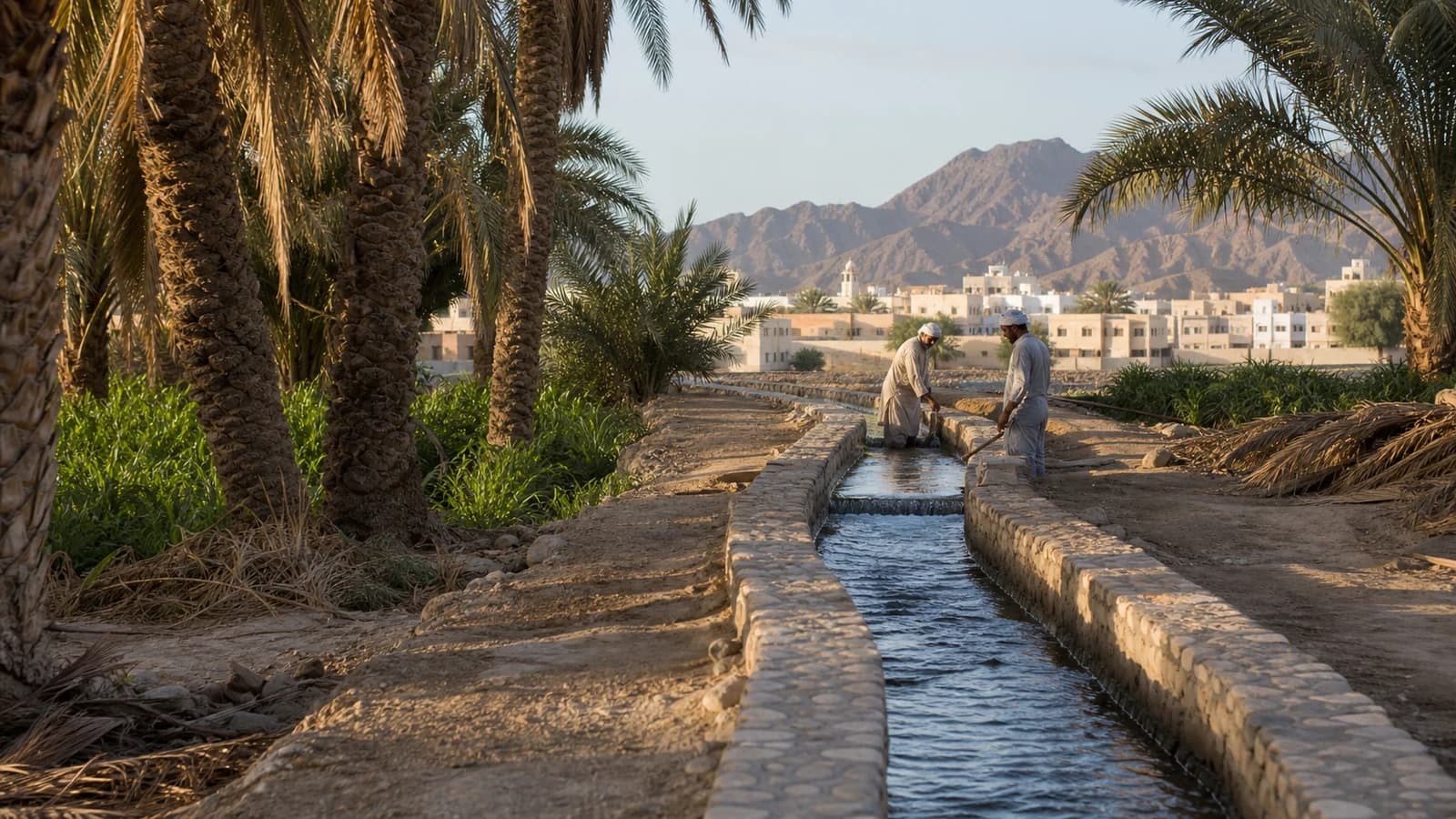
The cover image is an original AI-assisted landscape reconstruction, not a photograph or survey of one of Oman’s UNESCO-listed aflaj.
Sources
- UNESCO World Heritage Centre: Aflaj Irrigation Systems of Oman — World Heritage description and five component systems.
- UNESCO Nomination File: Aflaj Irrigation Systems of Oman — technical, social and landscape documentation.
- UNESCO World Heritage Committee Decision 30 COM 8B.37 — inscription criteria and management context.
Related reading
- How qanat tunnels carry groundwater
- How khettara irrigation sustains Moroccan oases


